E
5.30h
15km
670
7
THE HIKE
From Campo Moro to the Bignami Refuge
We go up the right branch of Valmalenco by car to the artificial lake of Campo Moro, and leave the car in the parking areas at the bottom of the lake (approximately 2050 m) .
From here we aim to walk towards the right wall of the gigantic Alpe Gera dam. Once we reach the base, a walkway clinging to the dam itself allows us to reach the top. From here we can already embrace the entire excursion: the Bignami refuge in front of us, surrounded by the Fellaria icefall, and the huts of Alpe Gembré at the bottom of the lake.
We cross the dam, then go diagonally up the NE ridge of Sasso Moro, until we reach the Bignami Refuge (2401m, 1.30h).
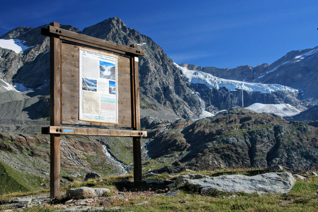
The Luigi Marson glaciological trail (optional)
North of the Bignami refuge we can venture into a network of paths that bring us closer to the Fellaria glaciers, tormented by global warming and forced ever higher at altitude. There are 3 routes (A, B and C), managed by the Lombard Glaciological Service under the name of Sentiero Glaciologico Luigi Marson - route C is the most spectacular one, because it leads us to the famous glacial lake ( approximately 2600 m, approximately 2 hours for the entire route) created a few years ago with the retreat of the glacier. Here the terminal part of the Fellaria flows into the waters of a small lake, creating an atmosphere similar to the Iceberg Lagoon in Iceland. The glacier here has been separated for years from the main tongue of the Fellaria, which we see looking out from the rocky step above us - this means that, having no power, this mass of ice will be short-lived (so it is better to go and visit this lake before it is too late).
The tour of Lake Alpe Gera
Once back at the Bignami Refuge, most hikers return to the car along the same route, but it is worth doing the tour of the lake (just a little longer). You descend to Alpe Gembré, passing under some waterfalls, then return on level ground to the dam, on a route with short tunnels and passages in the rock. Having closed the ring at the dam, we walk backwards along the pedestrian walkway we went through in the morning.
MAP
EQUIPMENT
The mountains are a dangerous environment: make sure you always have the right equipment — hiking or trail shoes, warm clothes and waterproofs in case of unexpected changes in weather conditions, a small emergency kit.
I've made an Amazon "shopping note" to make sure you have everything — ps if you buy from these links, 3% goes to support the development and maintenance of Hikes of the World 🙏.
-
Breathable t-shirt ( example )
-
Sweatshirt, fleece, or light jacket
-
Waterproof windbreaker (for example: men / women )
-
Gloves and hat (you never know)
-
Backpack with rain cover
-
Trekking poles (not essential, but they help to unload the weight of the backpack and ease the impact on the joints)
-
Trekking or trail running shoes (in great vogue lately because they are lightweight. These Salomon ones - for men and women - are an excellent entry-level, preferably Gore-Tex)
-
For via ferratas: complete via ferrata kit (I have this one , very light and compact, with this harness and helmet — or you can buy complete kits ). Buy in store to receive ad hoc support
-
To sleep a night in a refuge: sheet or light sleeping bag
-
Water bottle or thermos
-
Light crampons if you think you will find ice or snow on the route
-
Power bank or cell phone charger
-
Camera
-
Drone, for those who love to "fly" (used in moderation and at a distance from other people. I have had the DJI Mini 2 for over 2 years and have found myself very happy with it. The DJI Mini 3 also allows you to take vertical photographs)
-
Small emergency kit ( example )
-
Sun cream (essential)
-
Sunglasses


